April 21st – The 187km, 5hr drive from Barichara to Villa de Leyva took us through yet another change in scenery—lush, green pastures dotted with dairy cattle and thick vegetation. Very beautiful, one could have easily thought we were in Europe, the USA or even New Zealand. The road twisted and turned, climbing up hills and winding down again, a two-lane route marked by a double yellow line. Back home, that line means “do not cross,” but here, it seems more like a suggestion than a rule. Passing feels like a free-for-all. We saw trucks overtaking other trucks on blind corners going uphill—maybe they have radar or some sixth sense for oncoming traffic. Honestly, it’s a miracle we don’t witness accidents every hour.
We spent the night free-camping behind a sports stadium. A security guard passed by and reassured us that it was safe. Jaxon was thrilled to find soccer fields and immediately took off from the truck with his ball. A circus tent stood nearby, though it looked abandoned—probably left over from the Easter holiday week.
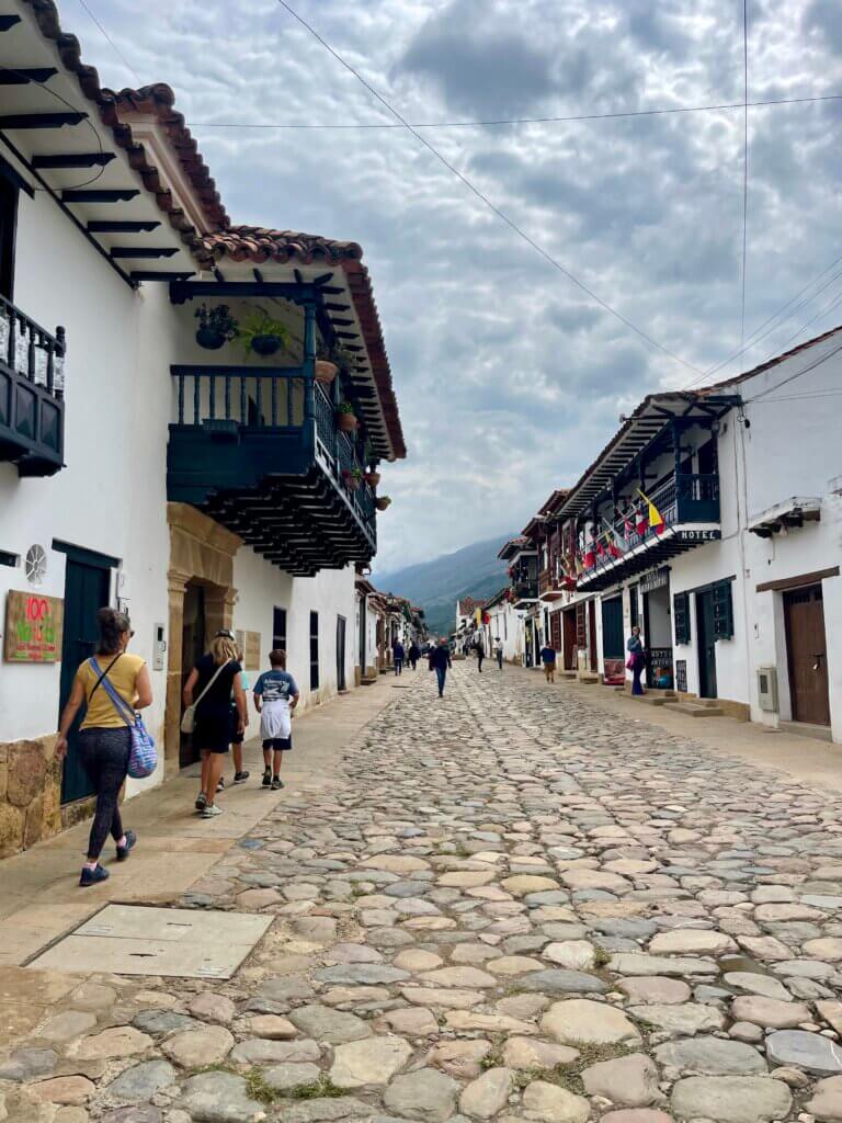
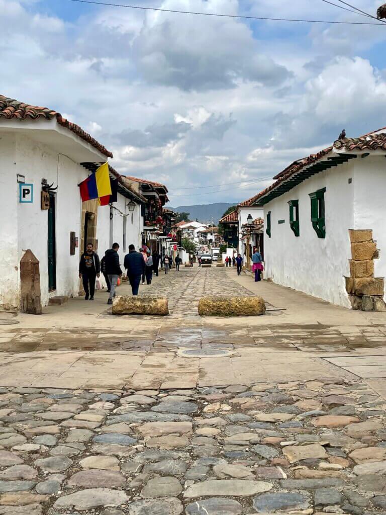
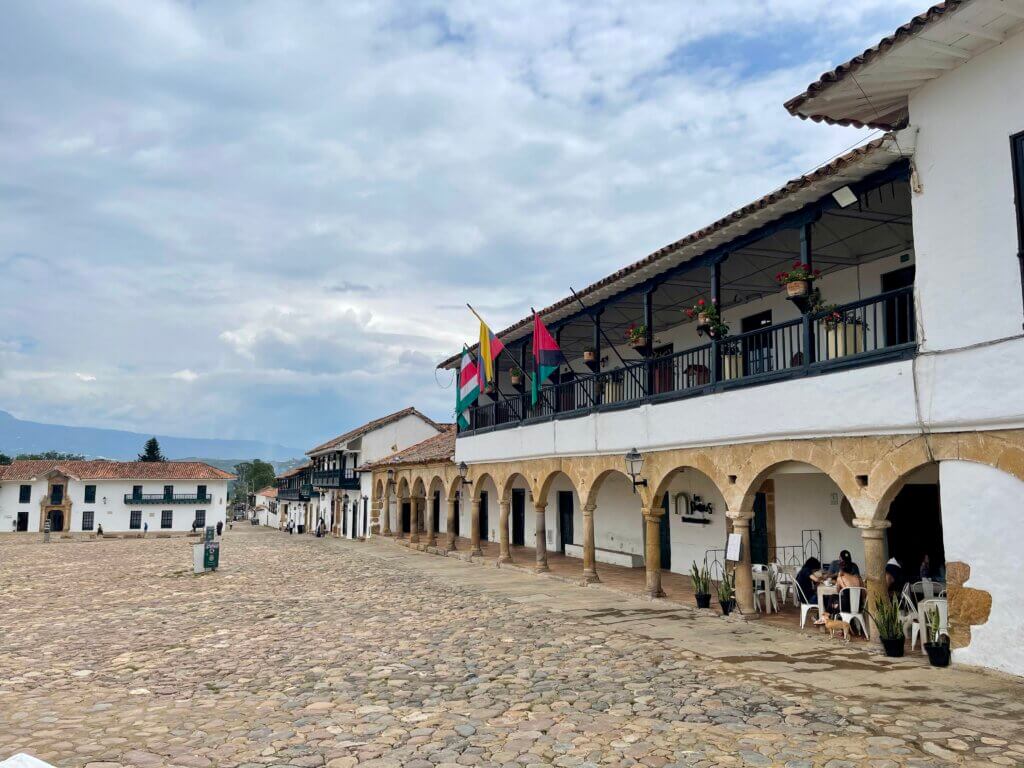
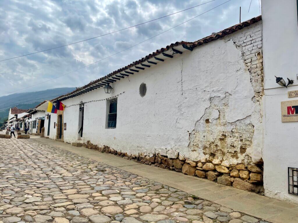
The next morning, we strolled into town to explore a little, top up our phones with data, and soak in the local vibe. But to be honest, Villa de Leyva didn’t really win me over. We’ve seen every trinket for sale in every town since Cartegena, and all the stores are looking the same. It’s certainly historic, but the wider streets lack the cozy charm we loved in Barichara. Again, we found ourselves mostly dodging dog poop.

town history
Founded in 1572, it was originally established as a retreat for Spanish nobility and clergy. Then later during the colonial period it became an important agricultural and trading centre. Its well-preserved Spanish architecture and cobblestone streets have helped it maintain much of its 16th-century charm. In 1954, the Colombian government declared Villa de Leyva a national monument, recognizing its cultural and historical significance. Today, it is a popular destination for tourism and historical exploration.
Leaving town, we followed the wide valley floor, passing endless emerald-green pastures and more grazing cattle. The landscape was scattered with thousands of greenhouses—acres of them—constructed from bamboo or metal frames and wrapped in PVC plastic. Eventually, we began to climb again. We feel like a pylon for the continuous flow of trucks, cars, and motorbikes as they weave around us on all sides, heading in both directions. We climb in 2nd gear, with a max of 40km, sometimes, when we can see ahead and the hill isn’t too steep, we are able to pass trucks heavier and slower than we are, it’s an exciting moment! Driving is tiring for Tim who has to maintain 100% focus on the road at all times, there is zero room for error and some days we drive 6-8 hours.
sutatasa
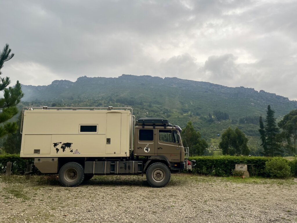
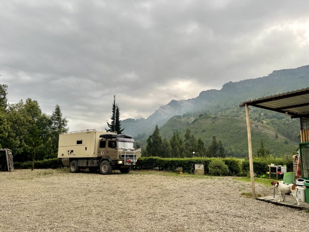
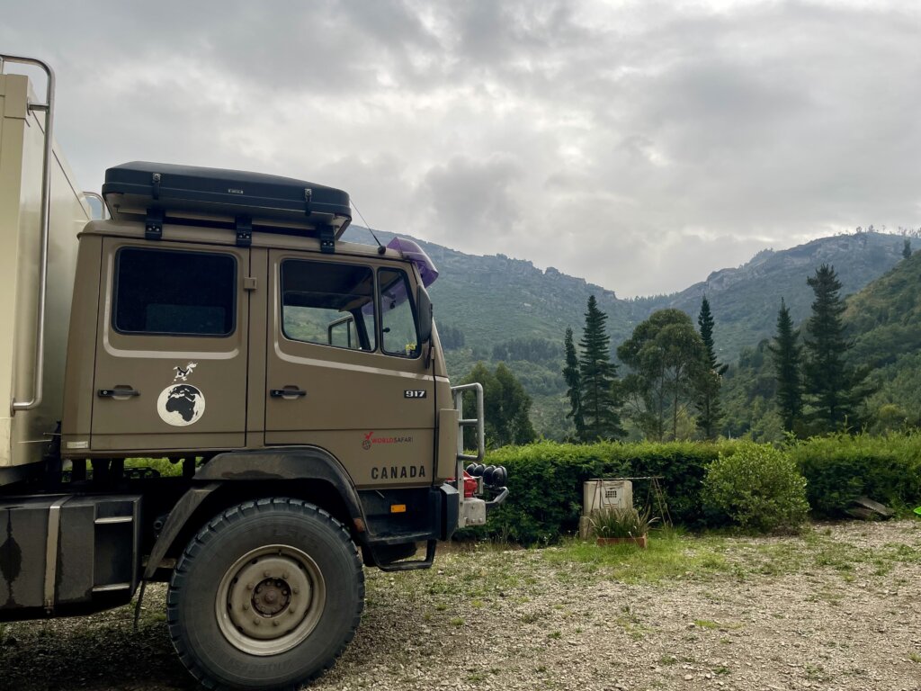
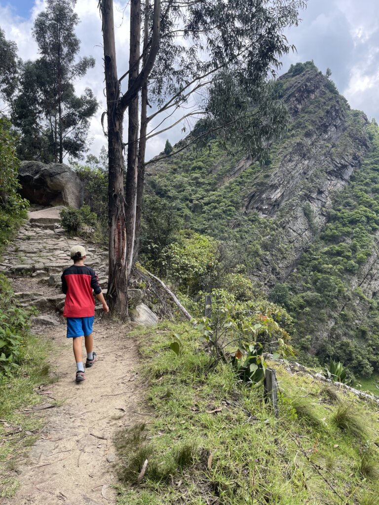
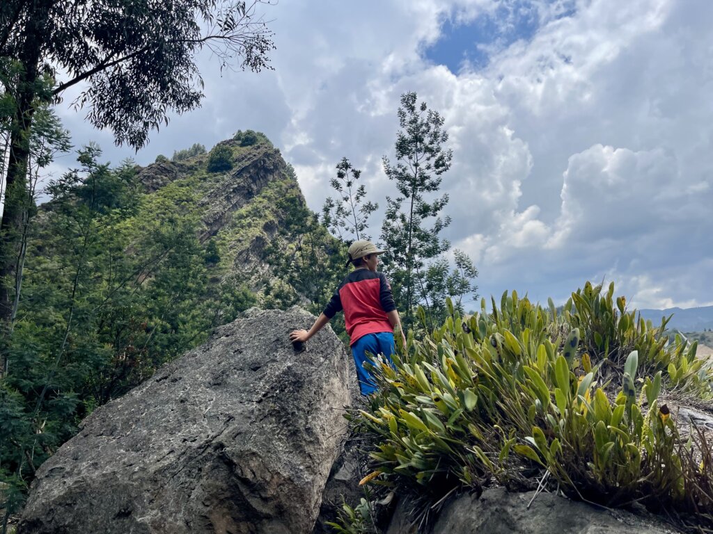
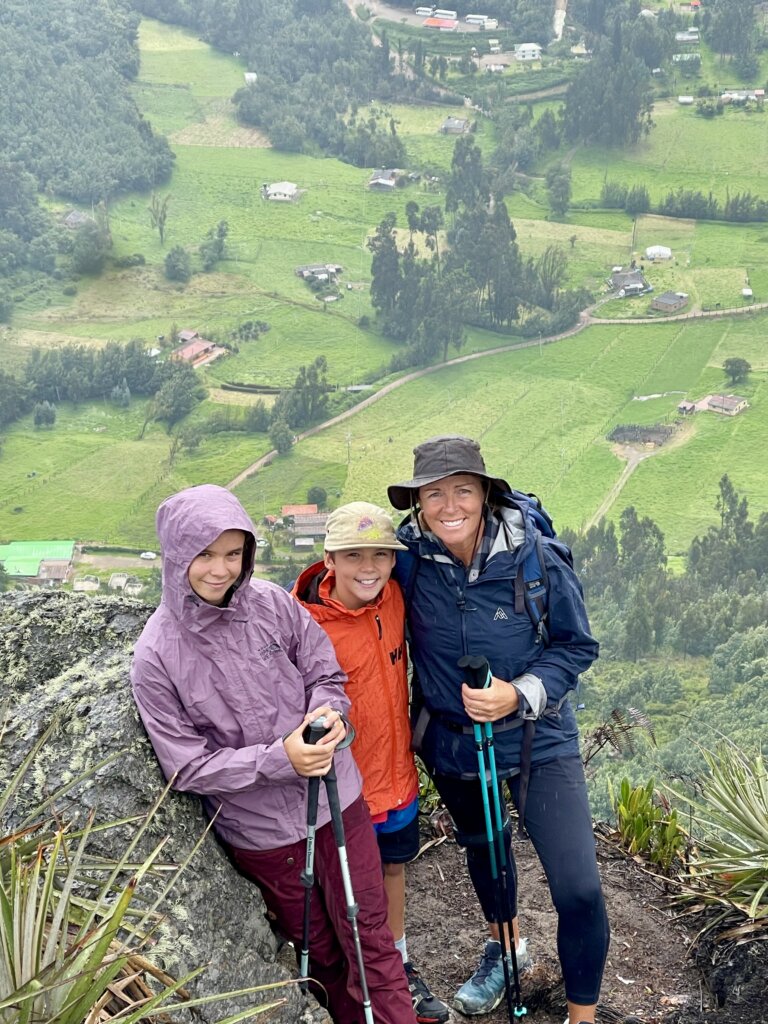
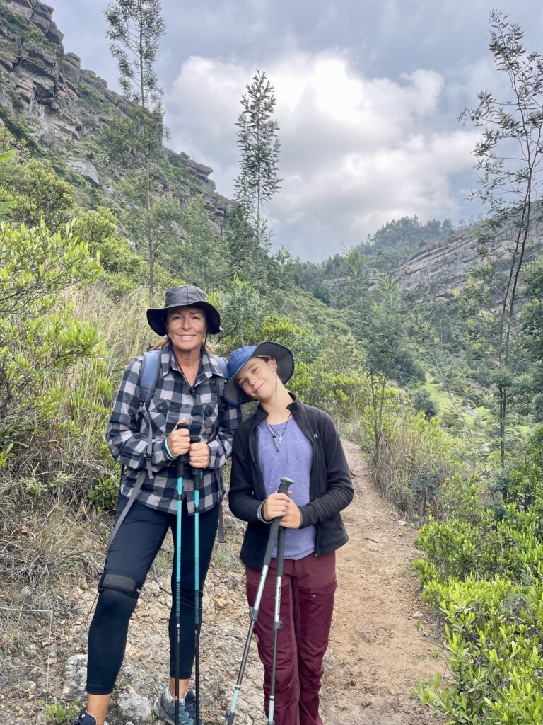
April 22 -100km, 3hr drive. Temperatures are cooler and we can now wear long pants. The humidity has become rain as we’re now in the rainy season where it rains every day. We reached our next overnight stop just before dark: a flat gravel parking lot beside a restaurant. The owner, Ricardo, told us to expect several buses the next morning, bringing hikers from the city. The main attraction here is a three-hour return hike to the top of the rocky ridge behind it the background. It looks fantastic & decide to go explore ourselves.
Rocas farallones Hike
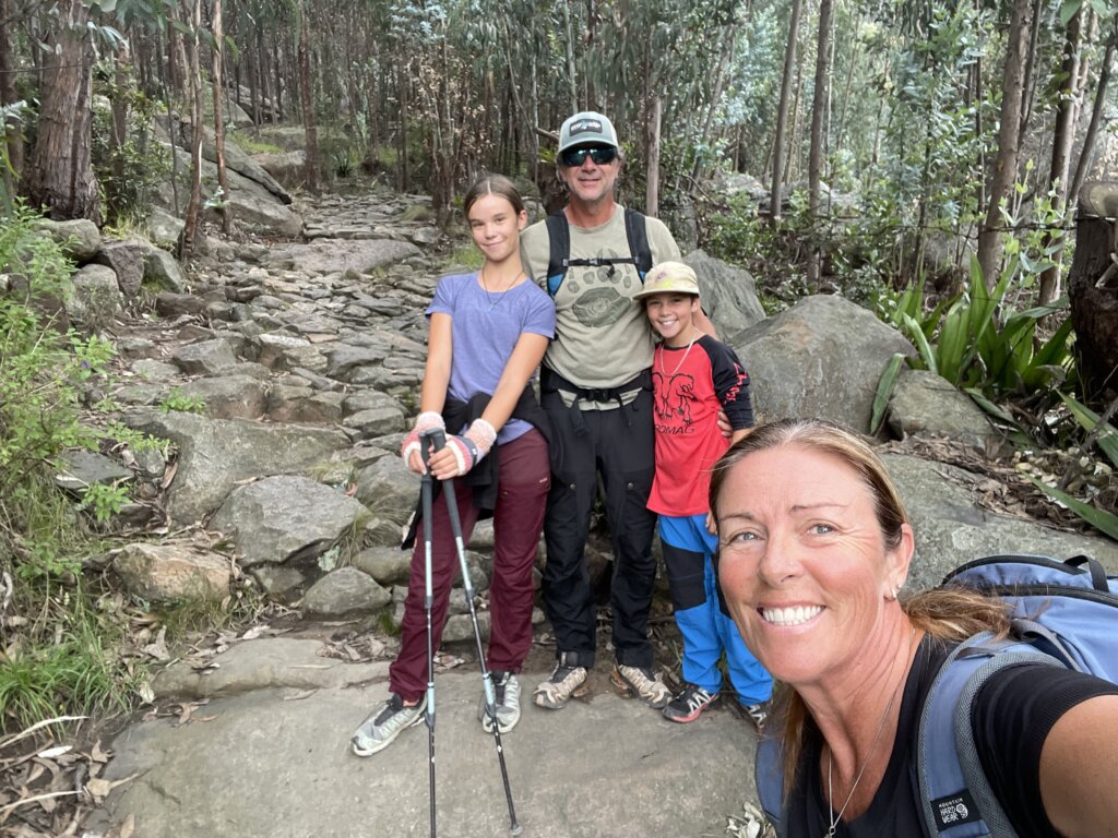
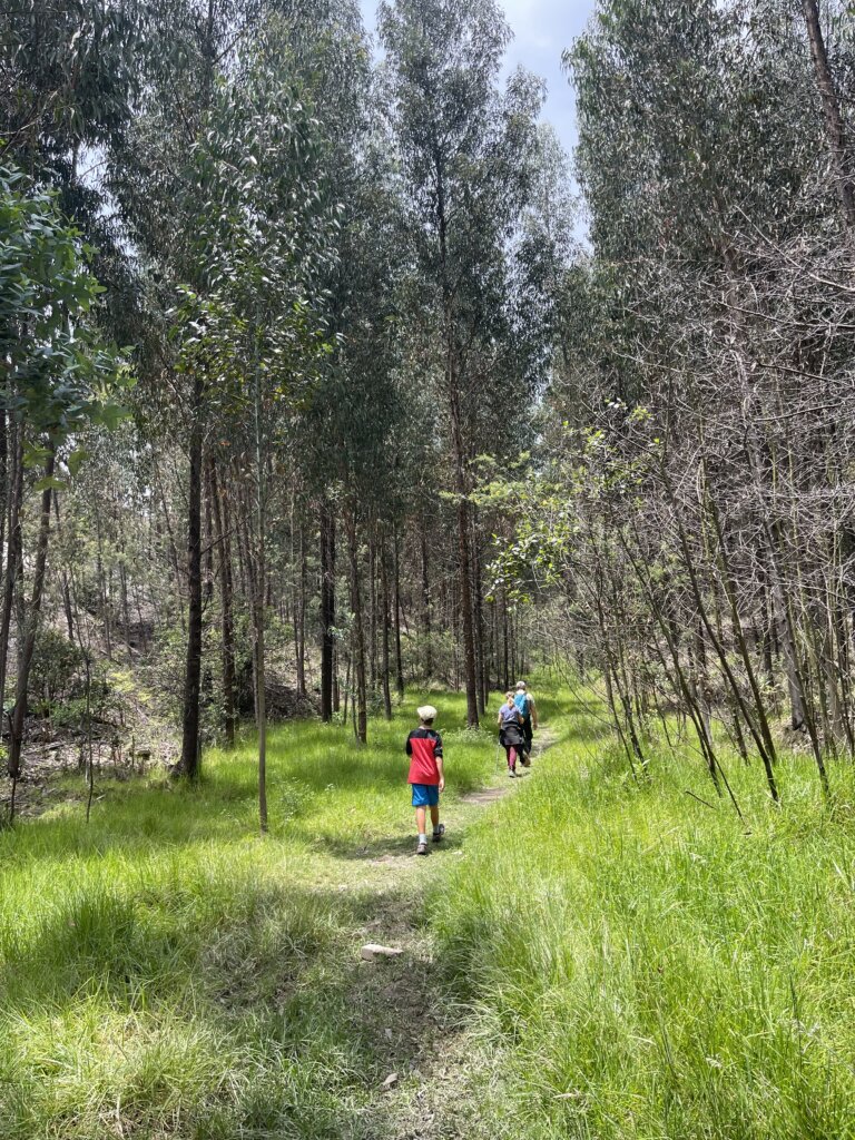
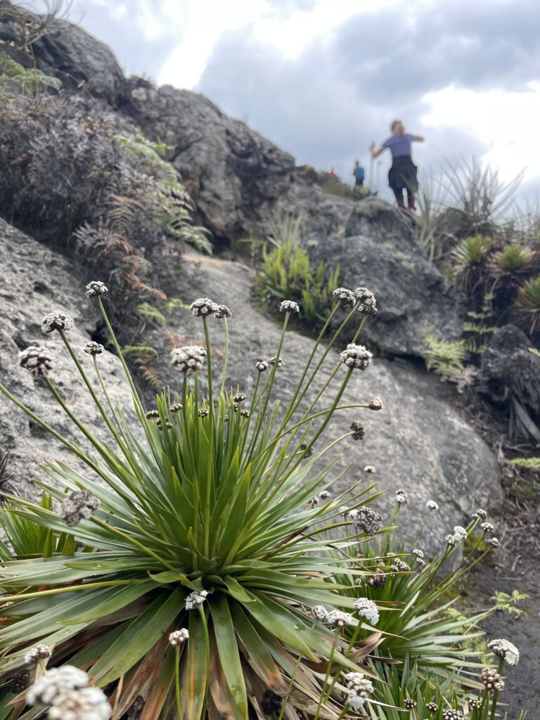
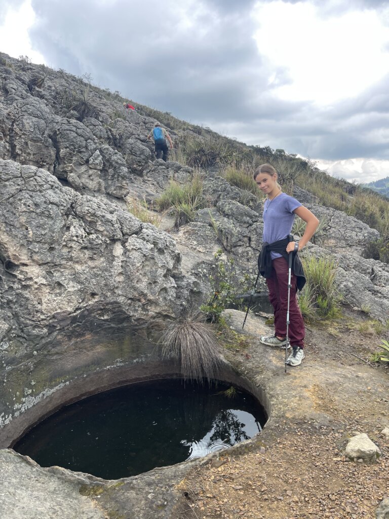
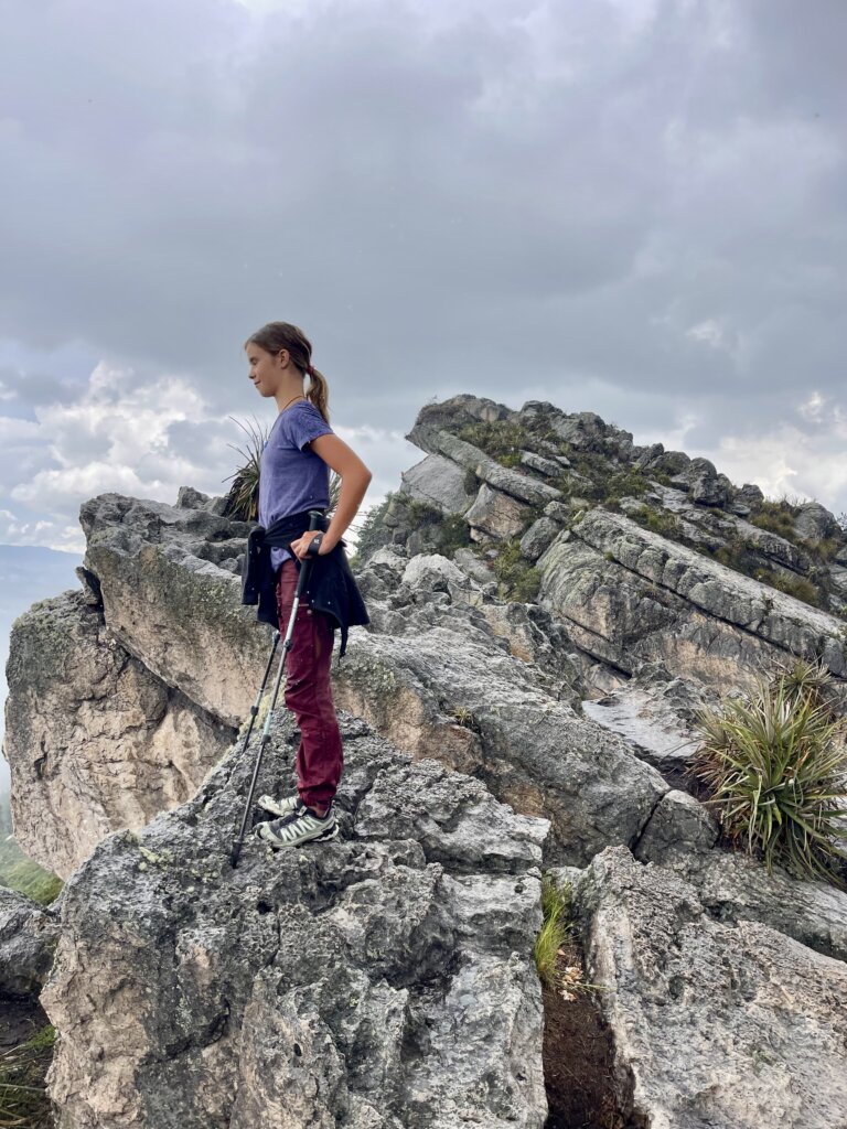
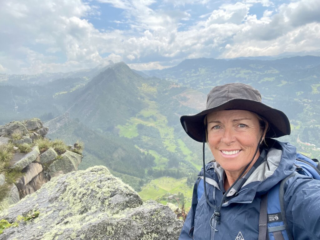
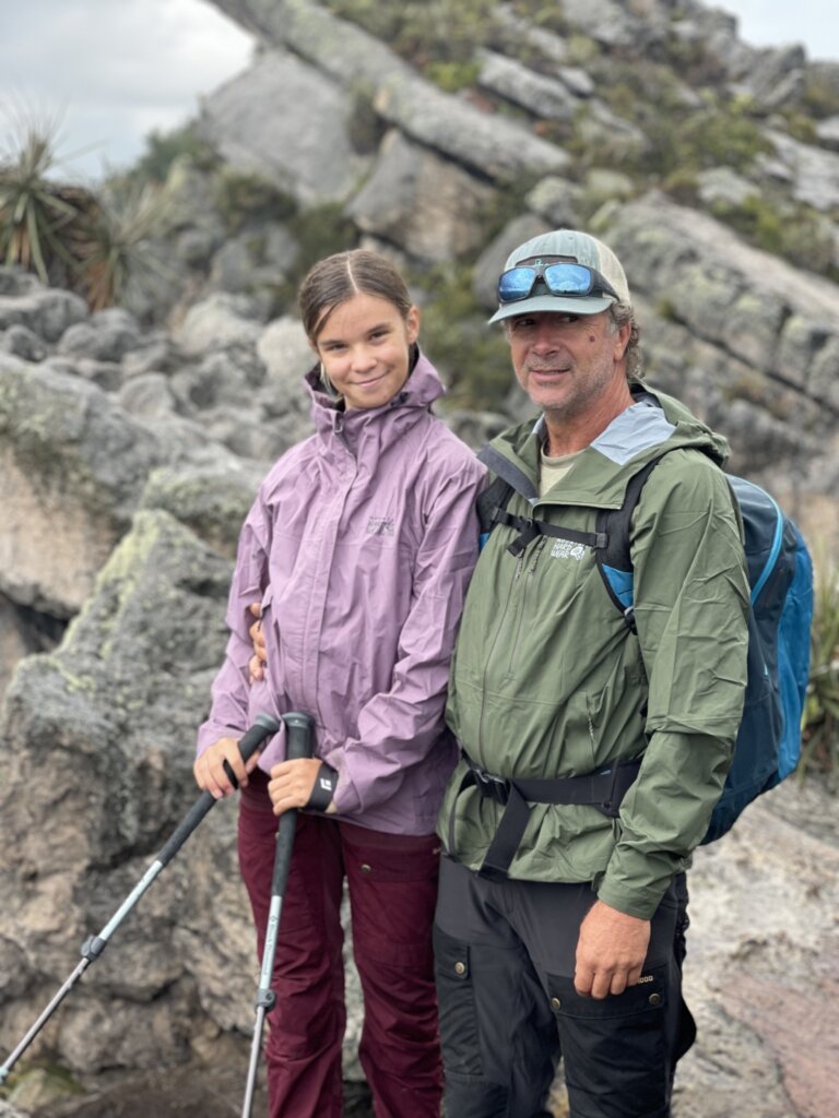
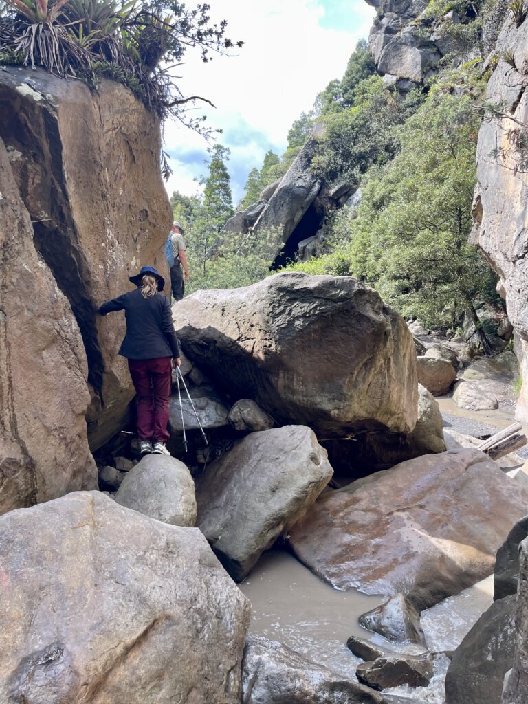
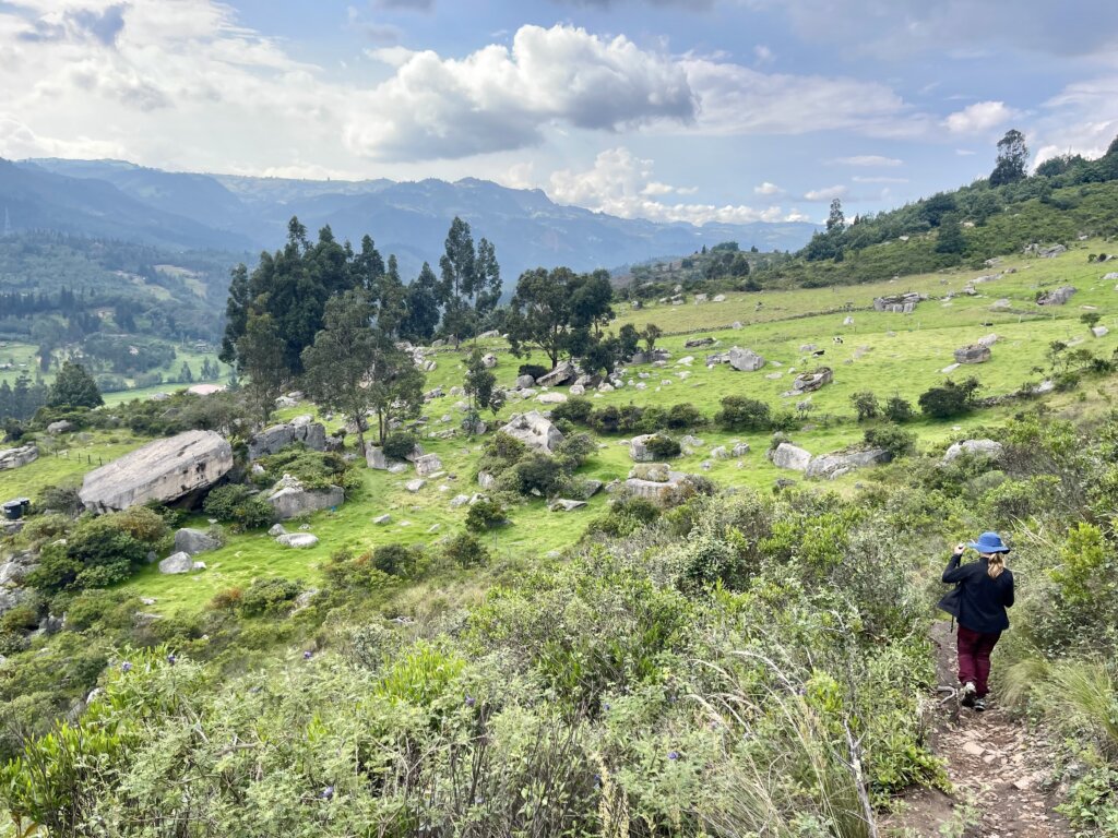
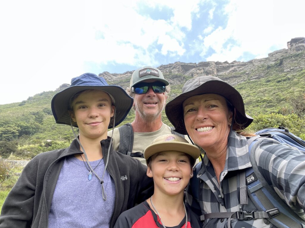
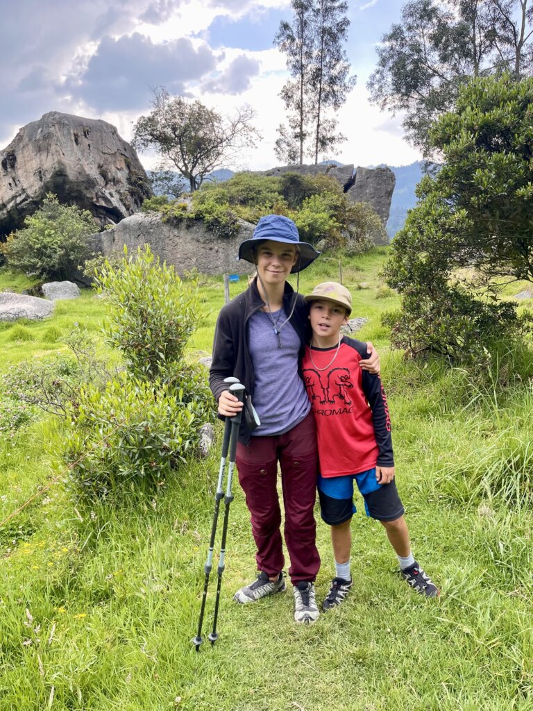
Rocas Farallones trail hike took us through one of the country’s most striking geological landscapes. These dramatic sandstone cliffs rise to altitude of around 2,600 to 2,800 meters (8,500–9,200 feet). Google tells me that this towering rock band was sculpted over millions of years by wind and water erosion, belongs to the Guadalupe Group—a sedimentary sequence dating back to the Cretaceous period. And that the cliffs have long held spiritual and cultural significance for the Muisca people, the indigenous inhabitants of the area, but is now a hub for hikers and climbers. The climb took us 1.5 hours up to the breathtaking view point just as the rain started. Forcing us to hide under a rock outcrop while we ate lunch and waited until the rain had passed. Descending through the pine forest, then down an actual waterfall for 100 meters added to the adventure. It was a more gnarly, route that that I wasn’t so convinced was even a trail. Thankfully it was, as I couldn’t see how we would have been able to climb back up over the steep slippery boulders. Round trip was 3.5 hours.
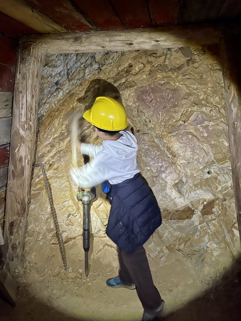
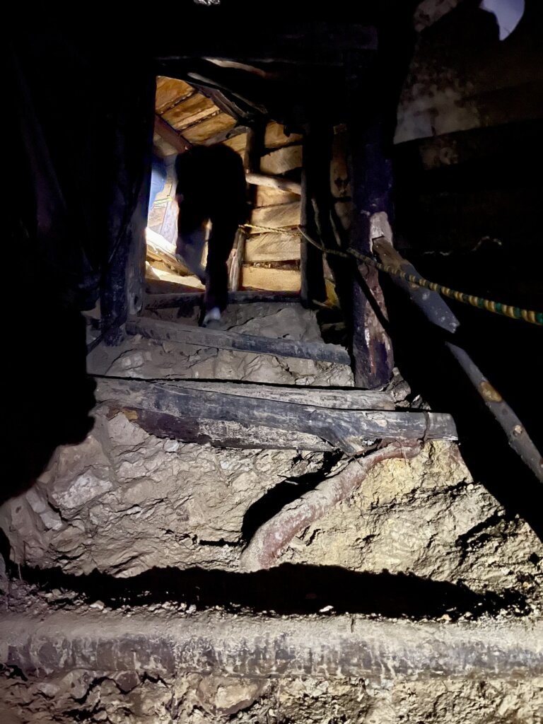
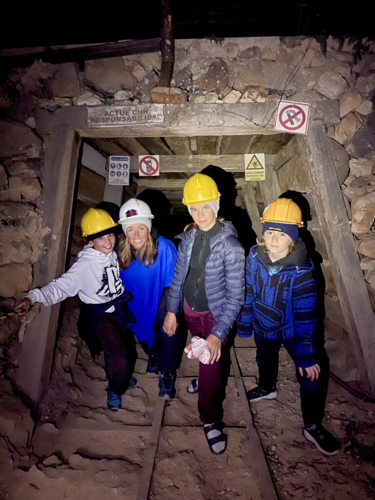
coal mine adventures
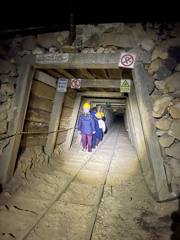
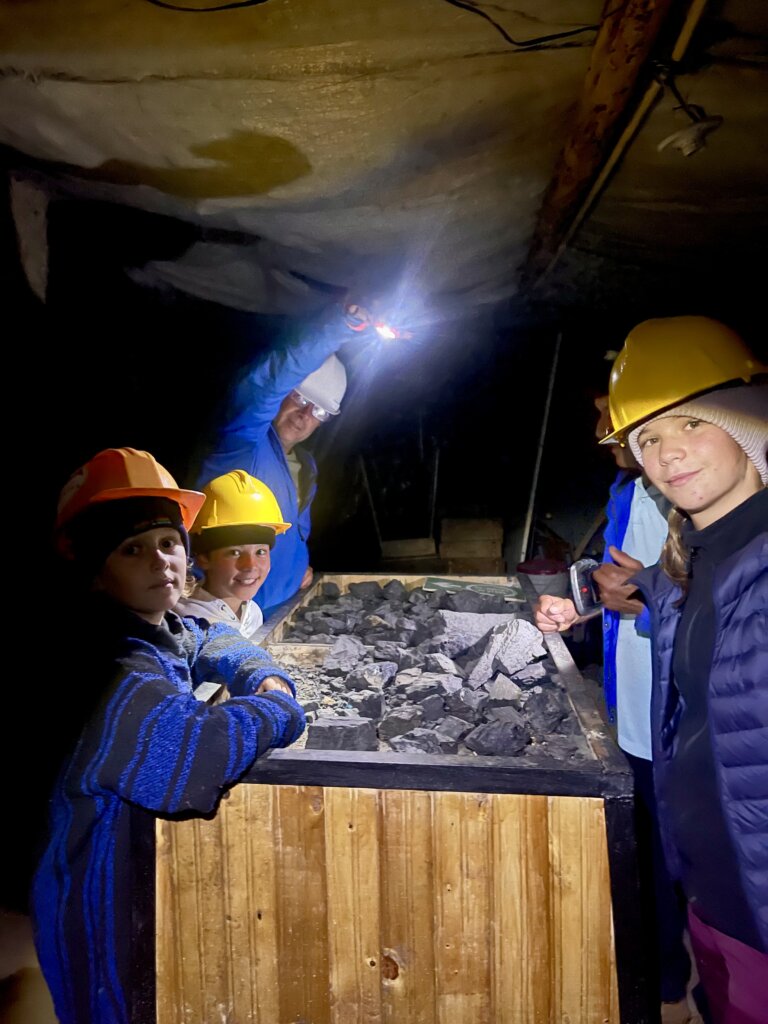
Back at camp Mario & Wenke had arrived. Just before dark the owner invited the us to tour his coal mine. Down the steep shaft we carefully walked to the bottom where he had displays of different qualities of coal, explaining their uses, tools and equipment. Ricardo only spoke Spanish, but knew to speak slowly for us to understand. The shaft was hand dug and shored up with wood from the property, which added a rustic, slightly nerve-wracking charm. Tim suggested we don’t touch or lean on any of the supports, as it definitely didn’t look to be very solid. Not wanting to linger, we gently encouraged Ricardo to keep moving along. To be honest, we couldn’t wait to get out of there.
Next stop will be just north of Bogota…
0 Responses
Great experiences.
What elevation are you at?
The driving is something else, huh!