September 1 – 4
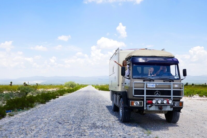
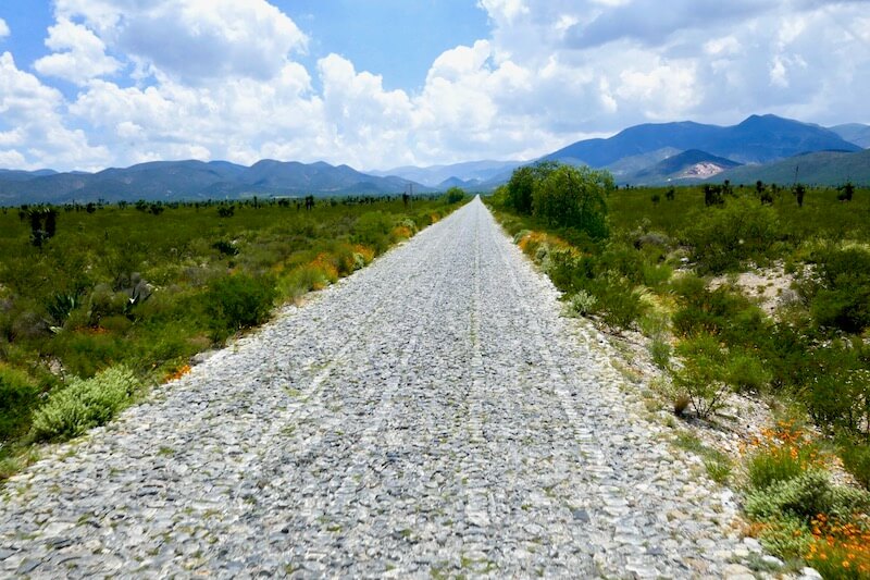
With the windows down and wind in our hair, we pointed Bruce North and into new territory. Excited to be moving on we enjoy the drive taking the ‘Libre’ or Free roads towards the state and city of San Luis Potosi. The long straight flat roads make for easy and relaxed driving. The vegetation gradually changes to arid desert dotted with fabulous Dr Seuss like Joshua trees.
That night, after doing a big Costco shop, we camped at the not so spectacular Walmart carpark in the centre of San Luis Potosi (SLP). As darkness fell a couple of passing cyclists stopped and said hi. Oscar & Madelene living and working as an engineer in SLP, spoke with Tim for more than an hour. They suggested we take a drive out to an old Ghost Town in the hills 250km away, and just like that we had our next destination. We never sleep well in cities, I tend to keep half an ear open for safety sake. Dreaming of rollercoasters, I’m slowly pulled out of sleep to the sound of the great supermarket trolley round up. Makes a change from roosters & barking dogs!
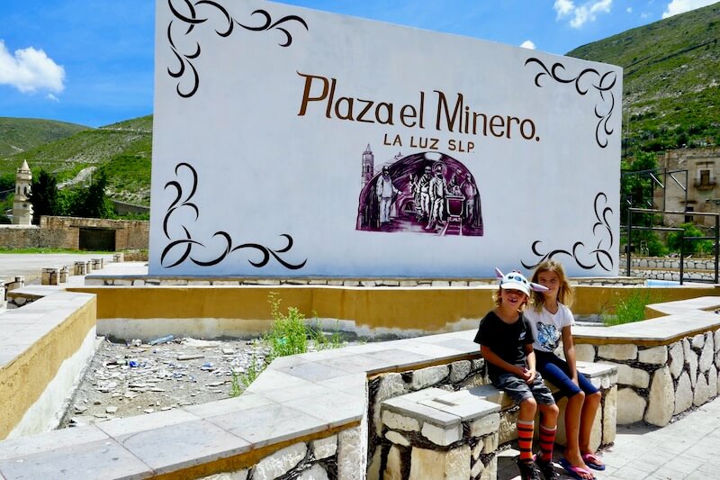
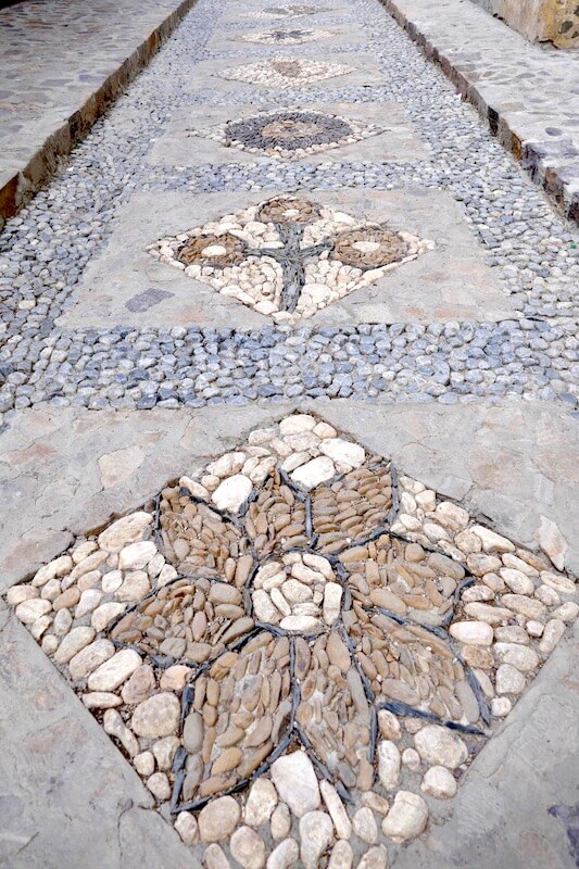
Located in the high & dry region of Northern SLP we head West from Matehula till we reached an impressive, hand built cobble stone road stretching more than 20km, winding slowly up the hills of crumbly looking rock and cactus. Up to where the road ends and adventure begins…
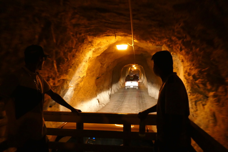
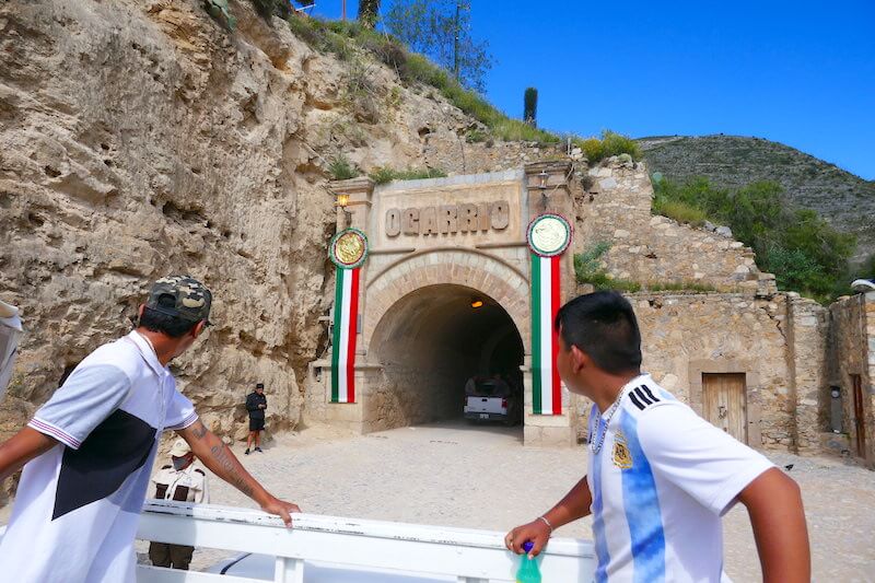
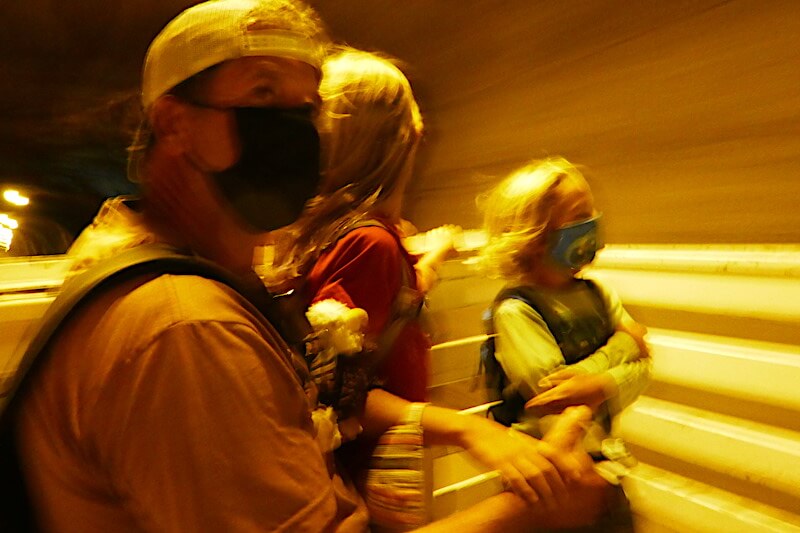
The only road access to Real de Catorce is via the Ogarrio Tunnel. Built to move the volume of minerals, just before the end of the silver boom. Too small for Bruce (our truck), we leave him parked and thumb a ride with a local municipal police officer, masks on we pile into his pick-up. The tunnel operates as a one way system which is radio controlled at each end from 6am – 11pm, after that it’s a’ use at your own risk’ kinda deal.
Dim lights with dodgy wiring give the 2km passage an old time glow. We pass numerous altars, doors and boarded up entrances. Smaller tunnels connecting to other mines such as Santa Ana, El Refugio, Boqueiro and Ave Maria. Suddenly the tunnel makes a 50’ turn to the right, and for the next kilometre we breathe the same cool, damp air the miners breathed 150+ years ago. Emerging into blinding daylight, we feel like we’ve stepped back in time.
Before the discovery of silver, there was a small indigenous settlement here, the church was built in 1700’s and said to house relics of Saint Frances of Assisi and has also became a place of pilgrimage. Legend has it that the town was named after the 14 Royal Spanish soldiers who were ambushed and killed by the local people in the early 1700’s, other stories dispute the story, but it sounds good to me.
Once silver & other minerals were discovered, word spread like wildfire, attracting prospectors much like the ‘gold fever’ in North America. During its heyday in the 1800’s more than 15,000 people lived and worked here, it was one of Mexico’s richest silver mines with a bank and a mint. But when silver prices plummeted in 1900, the mines were shut down and abandoned. Nearly all left as fast as they came.
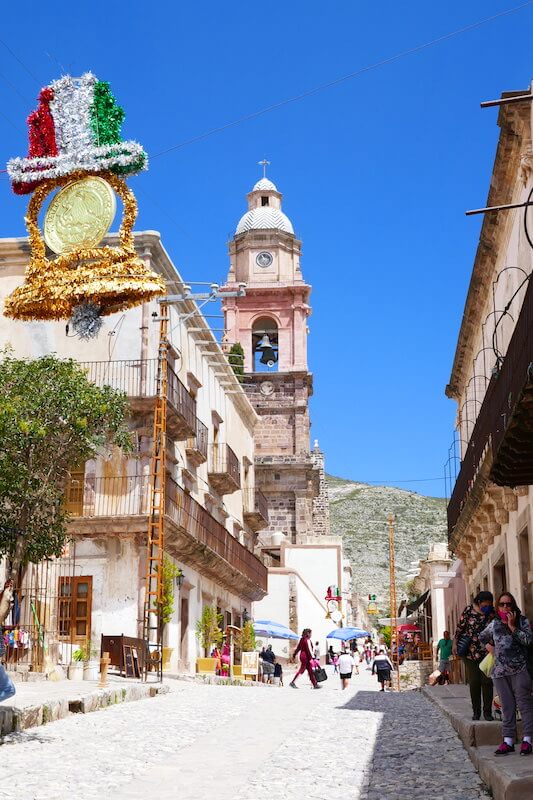
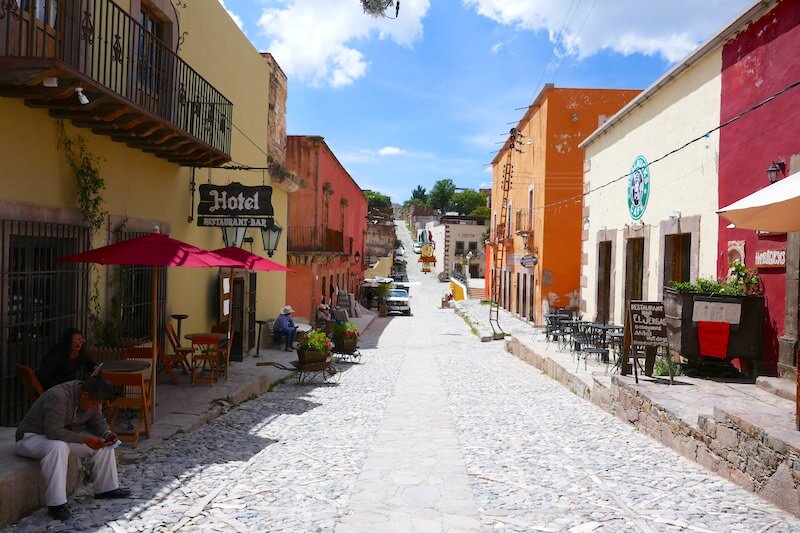
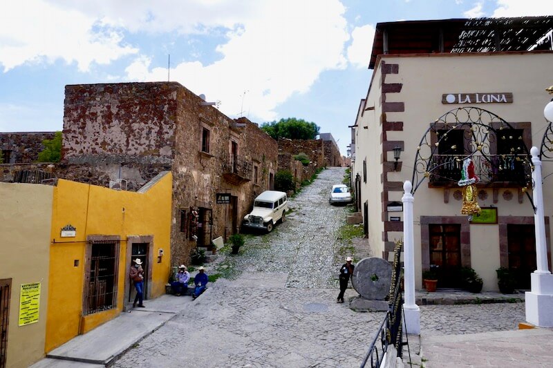
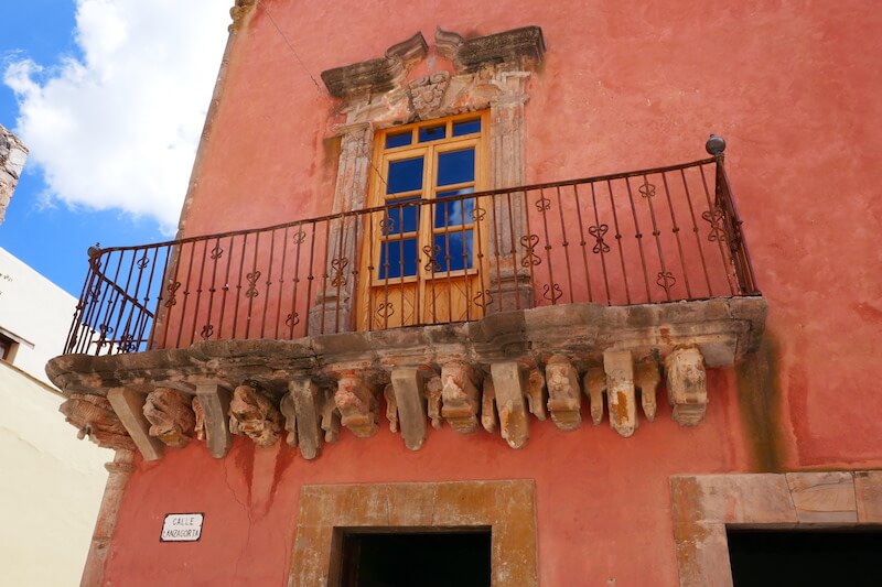
Today the town is home to 1,000 permanent residents. In early 2000 several Europeans came to explore the ‘old ghost town’ or ‘puebla fantasma’ and never left. Restoring or preserving as best they could, the old buildings look the same as though time had stood still. Now a popular Mexican tourist destination people come to explore this very unique place.
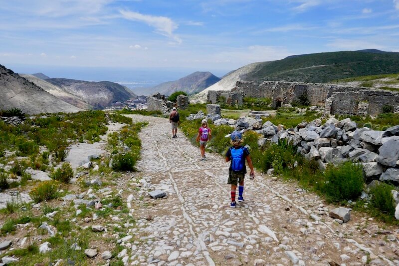
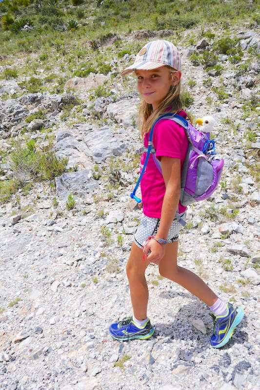
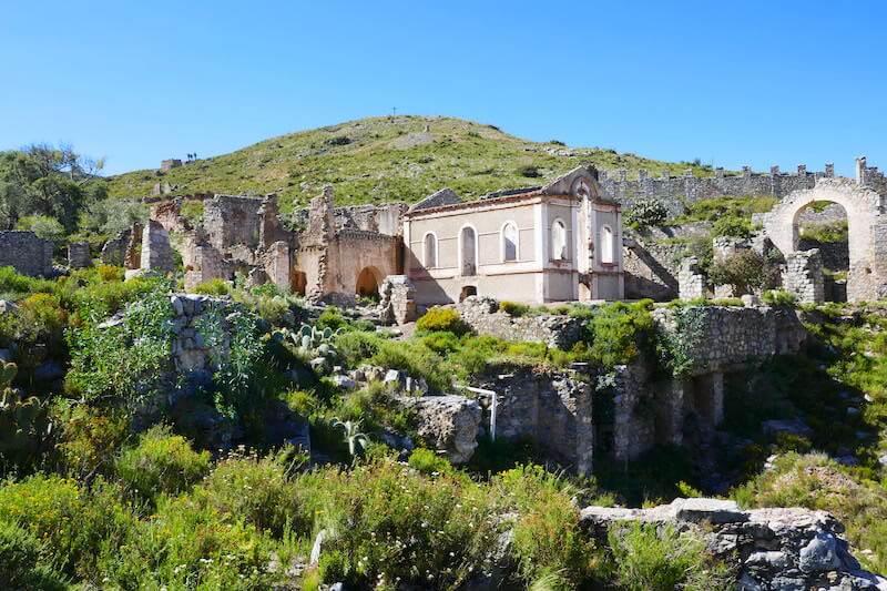
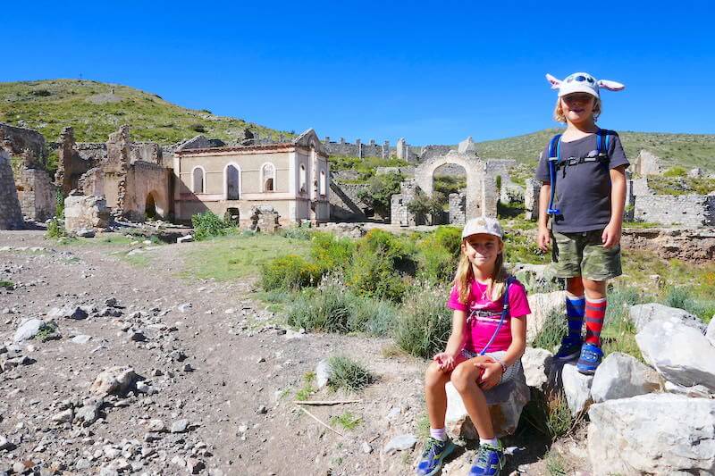
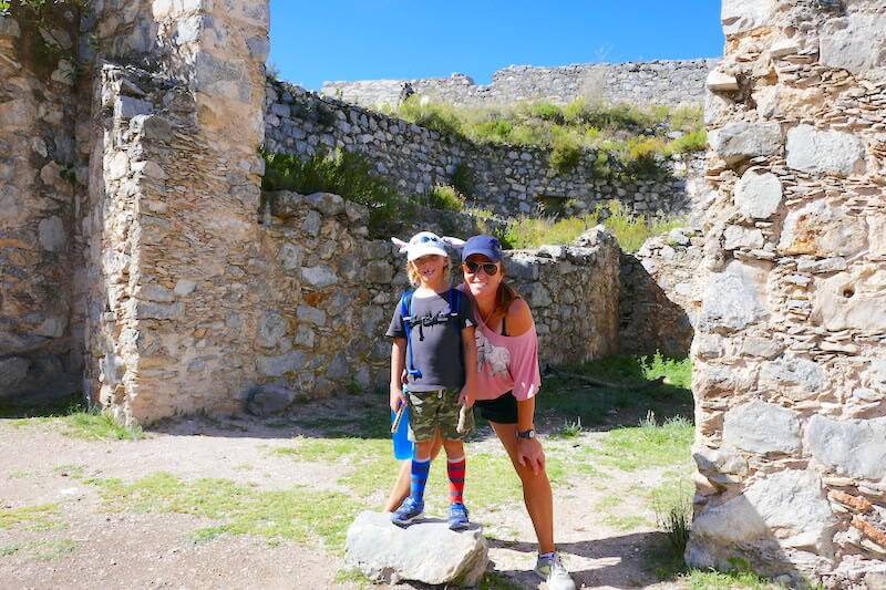
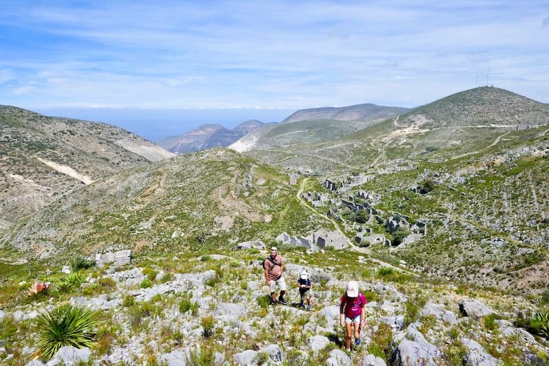
Climbing higher above the town on more cobblestone, the pathway leads to ruins from the mining days. Charley climbed no problem, even though she had been sick this past week with a head cold. Jaxon on the other hand was like a dead weight for the first half hour, complaining and whining every step of the way. Expecting to hike for an hour, we were surprised to reach the first crumbly in 20 mins. Like a magnet, Jaxon is immediately drawn to danger as he discovers a half covered vertical mine shaft. We throw a descent size rock down, time the fall and estimate to be a staggering near 600 feet!!!
Google says the free fall speed calculation is c v = v0 + gt = 0 + 9.80665 * 8 =78.45 m/s. For free fall distance use s = (1/2)gt2 = 0.5 * 9.80665 *82 = 313.8 m
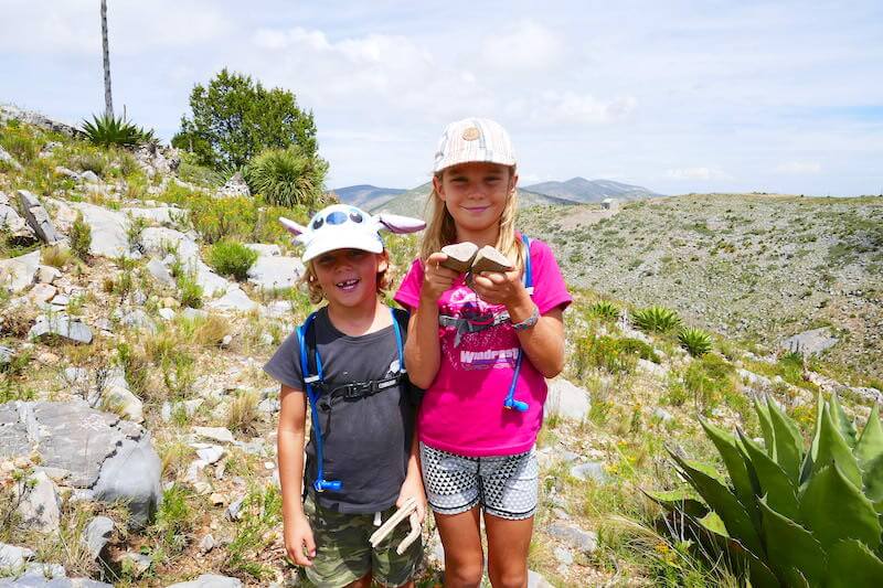
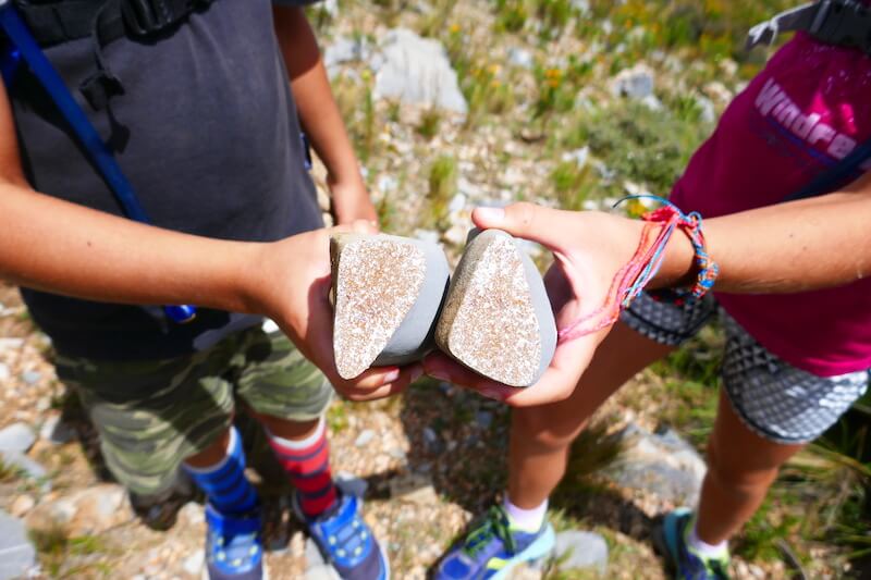
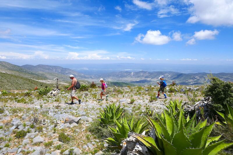
Scattered around the surrounding hills we make our way slowly to the outermost crumbly. Being careful not to step on a snake or fall down an unmarked shaft, we make our way up to the top where we can see down the valley we drove in. Jaxon had since forgotten his bad mood spent the day looking for special rocks, cracking them open to discover various mineral crystals. Insisting on packing them along in his pack. In all we were hiking 5.5 hrs.
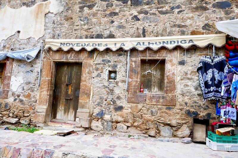
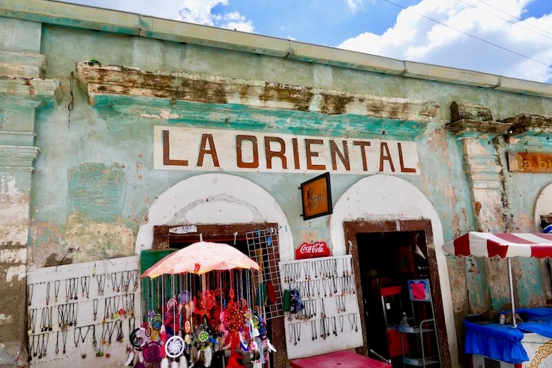
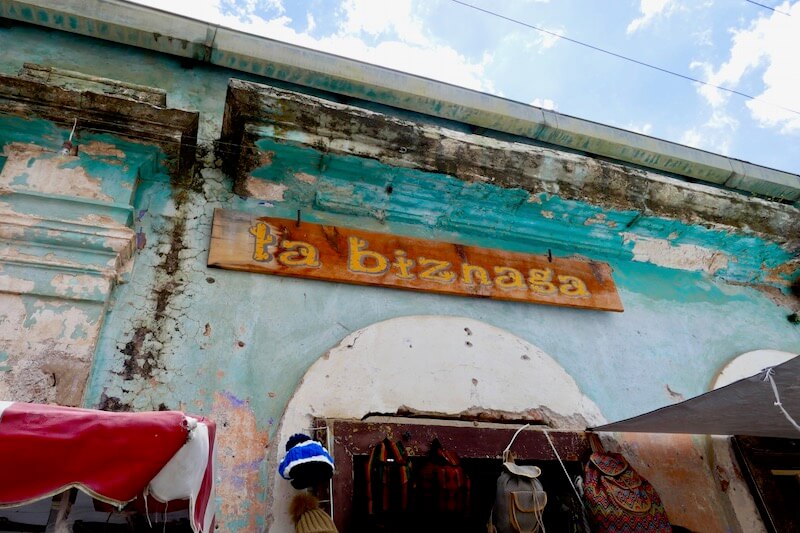
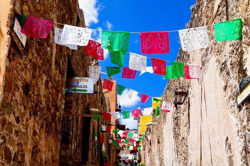
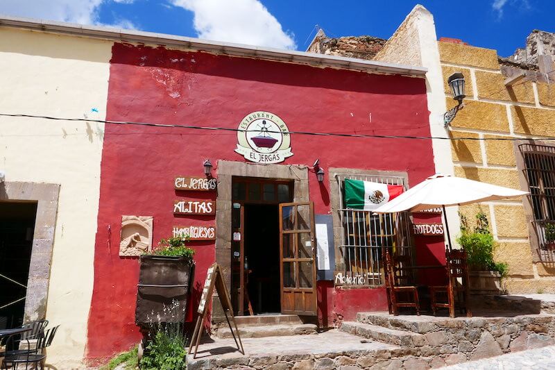
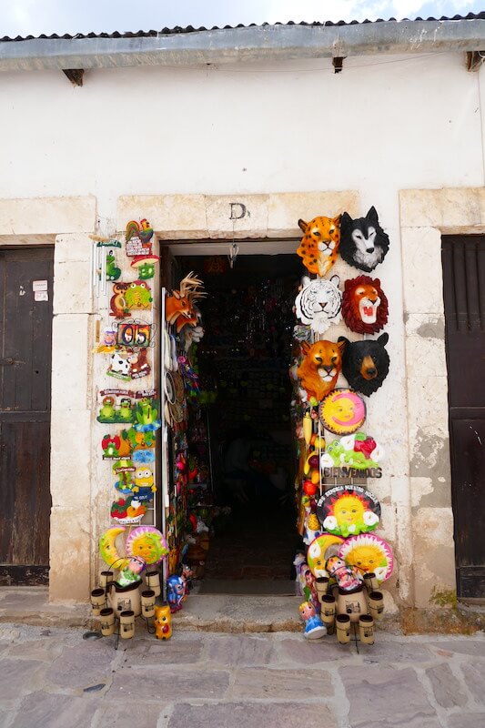
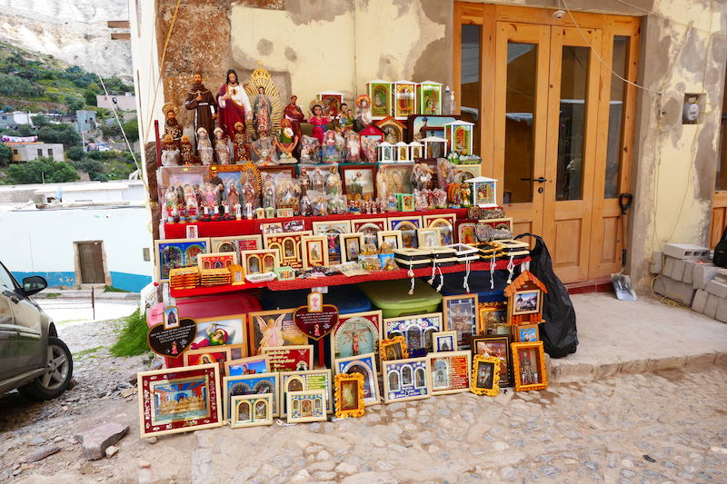
Down to the village with tired feet & hungry tummies we went in search of food. Lunch was tasty pork & chicken blue corn tortillas. The last part of the afternoon was spent wandering the streets. Lots of trinket stalls set up selling everything you can think of and more. Including a group of young locals, intricately threading tiny coloured beads into bracelets, rings, earrings, keychains which I didn’t photo. The current population stands at roughly 1,000 full time residents. The old buildings are showing their age with crumbling facades & peeling paint. Preserved as best as they could with the look of the wild West still strong.
Hitching a ride back through the tunnel in the back of a pickup truck, the kids exclaiming was like a Disneyland ride, passing back through time, back to our little home on wheels having had an amazing day.


A cool adventure. Thanks for sharing!
Sounds like a great spot always to be remembered.
Finally a bit of rain here–very smoke bound with smoke from Washington State
fires–103 degrees in L.A. but Donald tells us it will cool off soon.